What Happened
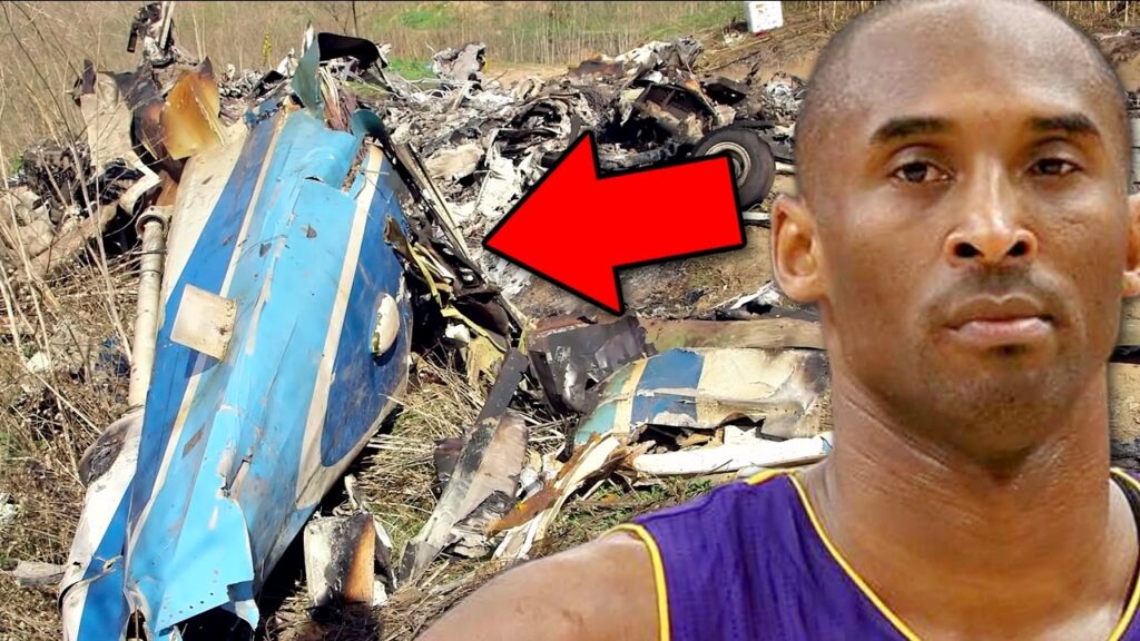
On January 26, 2020, the Sikorsky S-76B N72EX carrying Kobe Bryant and seven other passengers departed John Wayne Airport in Santa Ana, California, for Camarillo. Near Calabasas, the helicopter climbed into clouds, entered a descending left turn, and struck terrain. All eight passengers and the pilot died.
Island Express Helicopters operated the on-demand flight under Part 135 and visual flight rules. The departure was about 0907 Pacific standard time. The helicopter initially remained below 1,700 feet mean sea level, generally about 400 to 600 feet above the ground, as it progressed through controlled airspace toward Camarillo.
Controllers passed weather information that included a 1,100-foot overcast ceiling, two and a half miles of visibility in haze, and cloud tops at 2,400 feet mean sea level. Those reports described particular locations and observations. They did not create a continuous clear corridor above the rising terrain along the route.
At 0944:34, the helicopter was traveling west above US Route 101 at about 1,370 feet mean sea level, roughly 450 feet above the ground. The pilot told air traffic control he was climbing to get above the cloud layers. The helicopter began climbing at approximately 1,500 feet per minute while entering a gradual left turn.
Initially, that turn generally followed the highway below. About 36 seconds later, while still climbing, the turn tightened and the helicopter’s path diverged from the highway. The visual reference that had helped define the route was no longer matched by the aircraft’s path.
At 0945:15, the helicopter reached about 2,370 feet mean sea level, approximately 1,600 feet above the terrain. It then began descending rapidly in the left turn. Two seconds later, a controller asked the pilot’s intentions. The pilot replied that he was climbing to 4,000 feet, although the helicopter was already descending.
A witness near the accident site heard the helicopter and then saw it emerge from the cloud base in a left-banked descent. Only one or two seconds remained before impact. The helicopter struck the terrain and was destroyed; a postimpact fire followed.
That contrast between the reported climb and the actual descent was central to the investigation. It showed that the pilot’s understanding of the helicopter’s motion did not match its flightpath during the final turn.
Investigation Findings
The NTSB determined that the pilot continued a visual flight into instrument meteorological conditions, meaning conditions in which the outside visual references needed for that flight were unavailable. Spatial disorientation followed, and he lost control.
The report found that the helicopter had already begun entering clouds when the pilot initiated the climb. Loss of outside reference may initially have been intermittent, but it was likely complete by the time the turn carried the helicopter away from the highway. The climb was therefore not an escape completed while maintaining reliable visual conditions.
Spatial disorientation did not require a helicopter malfunction. Without a usable horizon, sensations from the inner ear could conflict with the instruments and the actual aircraft motion. The Board identified the rapid climb and turning flight in clouds as conditions that made the pilot susceptible to those misleading sensations.
Investigators found no evidence that a helicopter failure or malfunction caused the accident. They also did not identify pilot qualification deficiencies, impairment from alcohol or other drugs, fatigue, or a medical condition as safety issues for this flight. Those findings kept the focus on weather avoidance, decision-making, and control after the visual references were lost.
The report distinguished self-induced pressure from pressure applied by a passenger. It did not find pressure from the client, the air charter broker, or Island Express to complete the flight. Instead, it found that the pilot was likely influenced by his own desire to fulfill the client’s travel needs, the absence of an alternative plan, and plan continuation bias. That bias described continuing toward the original goal even as the conditions supporting the plan deteriorated.
The risk assessment also had a timing problem. The pilot completed the flight risk analysis form about two hours before departure. Updated weather available by departure would have required input from the director of operations and an alternative plan under the form’s criteria, even though the total score would still have remained in the company’s low-risk category. Company guidance was unclear about updating the form, and the pilot did not update it.
A low numerical score therefore did not mean no additional action was required. Specific weather items should have triggered a conversation and an alternate plan. The NTSB linked the company’s inadequate review and oversight of its safety management processes to the accident.
The investigation also preserved limits on what could be known. Without crash-resistant cockpit audio and image recording, investigators could not conclusively establish the pilot’s focus of attention or every visual cue during cloud entry. The report supported the spatial-disorientation conclusion without claiming to reconstruct every movement or thought inside the cockpit.
NTSB Probable Cause
The pilot’s decision to continue flight under visual flight rules into instrument meteorological conditions, which resulted in the pilot’s spatial disorientation and loss of control. Contributing to the accident was the pilot’s likely self-induced pressure and the pilot’s plan continuation bias, which adversely affected his decision-making, and Island Express Helicopters Inc.’s inadequate review and oversight of its safety management processes.
Safety Lessons
The following takeaways apply the investigation to flight planning and training. They do not replace the aircraft flight manual or instruction in the airplane.
- Decide on weather alternatives before losing the view. For a visual flight, identify the conditions that will trigger slowing, turning away, diverting, or landing where appropriate. Practice those decisions in scenarios rather than assuming a climb through clouds will remain available.
- Refresh a risk assessment when its inputs change. Weather is a live part of the plan. A form completed earlier needs to be reconsidered when later information triggers a required action, even if a total score still looks acceptable.
- Train the transition from visual references to instruments. Use qualified, aircraft-appropriate instruction and realistic simulation for inadvertent cloud entry and disorientation. The training should include recognizing deteriorating conditions early, as well as controlling the aircraft if outside references are lost.
Watch the Full Analysis
Frequently Asked Questions
Q: What did the NTSB say caused the Kobe Bryant helicopter crash?
A: The pilot continued a visual flight into instrument conditions, became spatially disoriented, and lost control. Likely self-induced pressure, plan continuation bias, and inadequate company safety oversight contributed.
Q: Did Kobe Bryant pressure the pilot to continue?
A: The NTSB did not identify pressure from the client, the broker, or the operator to complete the flight. It distinguished that from the pilot’s likely self-induced pressure.
Q: Did an engine or helicopter failure cause the crash?
A: The NTSB identified no helicopter malfunction or failure as a safety issue in the accident. Its findings centered on flight into clouds, spatial disorientation, and decision-making.
Sources and References