What Happened
On December 26, 2016, about 4:02 p.m. eastern standard time, Cessna 182H N1839X struck mountainous terrain during a descent toward Gatlinburg Pigeon Forge Airport, Tennessee. The private pilot and two passengers were killed. The airplane was destroyed at an elevation of about 5,400 feet, approximately 15 miles south of the destination.
The flight had left Keystone Heights, Florida, about 1 p.m. The pilot did not hold an instrument rating. He had not obtained a weather briefing or filed a flight plan, and an AIRMET for mountain obscuration covered the route.
Approaching the destination at 9,500 feet mean sea level, the pilot requested a descent while receiving VFR flight following. At 3:54 p.m., the controller approved the descent, gave an altimeter setting, and instructed the pilot to maintain VFR.
The airplane descended on a ground track of about 340 degrees, pointed toward the airport. Its groundspeed remained between approximately 130 and 150 knots. At 3:58 p.m., about 20 miles from the airport, it passed below the area’s 8,000-foot minimum vectoring altitude.
The direct track continued. Satellite imagery and other weather evidence showed a cloud layer in the area with tops around 6,000 to 7,000 feet mean sea level. A pilot flying nearby described entering the layer at 5,000 feet and reaching its top at 7,000 feet. N1839X descended into that obscured terrain environment.
At 4:02 p.m., radar placed the airplane at 5,400 feet beside the 6,500-foot peak of Mount LeConte. The track ended there. The controller issued a frequency change and terminated radar services, but no response came from the pilot.
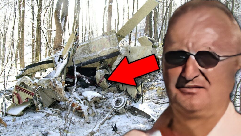
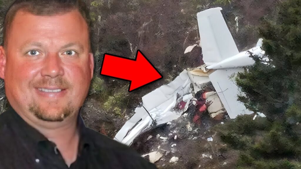
Family members later reported the aircraft overdue. Searchers located the wreckage that evening in steep terrain at the position of the last radar return. North of the ridge, including at the destination airport, conditions were visual. The airplane had not reached that clear area.
Investigation Findings
The NTSB found evidence consistent with controlled flight into terrain. The airplane’s steady descent and track did not show the rapidly changing flight path associated with the loss-of-control sequence seen in some weather accidents. Wreckage examination revealed no pre-impact mechanical anomalies.
The terrain and cloud layer overlapped. A direct line to an airport at roughly 1,014 feet elevation led across much higher terrain before reaching it. Descending toward the airport elevation did not establish clearance along that line. The nearby mountain peak rose above the airplane’s last recorded altitude.
The controller’s approval also retained an explicit condition: maintain VFR. It did not turn the flight into an instrument clearance or supply a protected instrument descent through the mountains. The pilot continued below the cloud tops despite lacking an instrument rating.
Investigators examined an established pattern before the accident. An experienced instructor had repeatedly counseled the pilot about flying in instrument conditions without an instrument rating. The NTSB found that he had continued that practice over two years and identified an anti-authority attitude as a contributing factor. The airplane was also about two months overdue for an annual inspection.
Weather records supported the mountain-obscuration warning. ForeFlight records showed a route entry during the flight but no weather-imagery viewing. The evidence did not establish whether the pilot reviewed every possible observation or forecast source, so this article does not assume that no weather information of any kind was available to him.
Toxicology detected phentermine, a potentially impairing stimulant. The samples did not allow investigators to determine impairment, and the NTSB could not establish whether its use contributed. The causal findings remained the intentional VFR flight into instrument conditions and the pilot’s established attitude toward operating rules.
NTSB Probable Cause
The non-instrument-rated pilot’s intentional visual flight rules flight into instrument meteorological conditions, which resulted in controlled flight into terrain. Contributing to the accident was the pilot’s established anti-authority attitude.
Safety Lessons
The following takeaways apply the investigation findings to flight planning and cockpit decisions.
- Check the terrain between cruise and the airport. Plan the descent around terrain clearance and cloud coverage along the entire path. An airport reporting visual conditions does not establish that the ridges separating the airplane from the airport are clear.
- Keep the conditions attached to an ATC instruction. A descent approved with instructions to maintain VFR depends on remaining in visual conditions. If that cannot be done, communicate the problem and preserve a suitable alternative before descending into cloud.
- Treat repeated counseling as a reason to change the plan. Previous completion of a risky flight does not demonstrate that the method is safe. Training, operating limits, and a willingness to cancel or divert need to change before the same decision is repeated with passengers.
Watch the Full Analysis
Frequently Asked Questions
Q: Why did N1839X crash near Gatlinburg?
A: The NTSB found that the non-instrument-rated pilot intentionally continued VFR flight into instrument conditions and struck terrain. An established anti-authority attitude contributed.
Q: Was Gatlinburg airport itself in bad weather?
A: Conditions at the destination and north of the ridge were visual. The cloud-covered mountains south of the airport were the hazard along the descent path.
Q: Did ATC clear the Cessna to descend through clouds?
A: No. The controller approved a descent while instructing the pilot to maintain VFR. The pilot did not have an instrument rating.
Sources and References