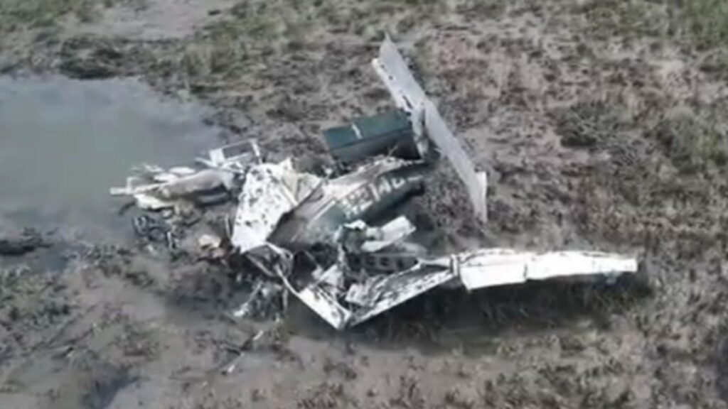
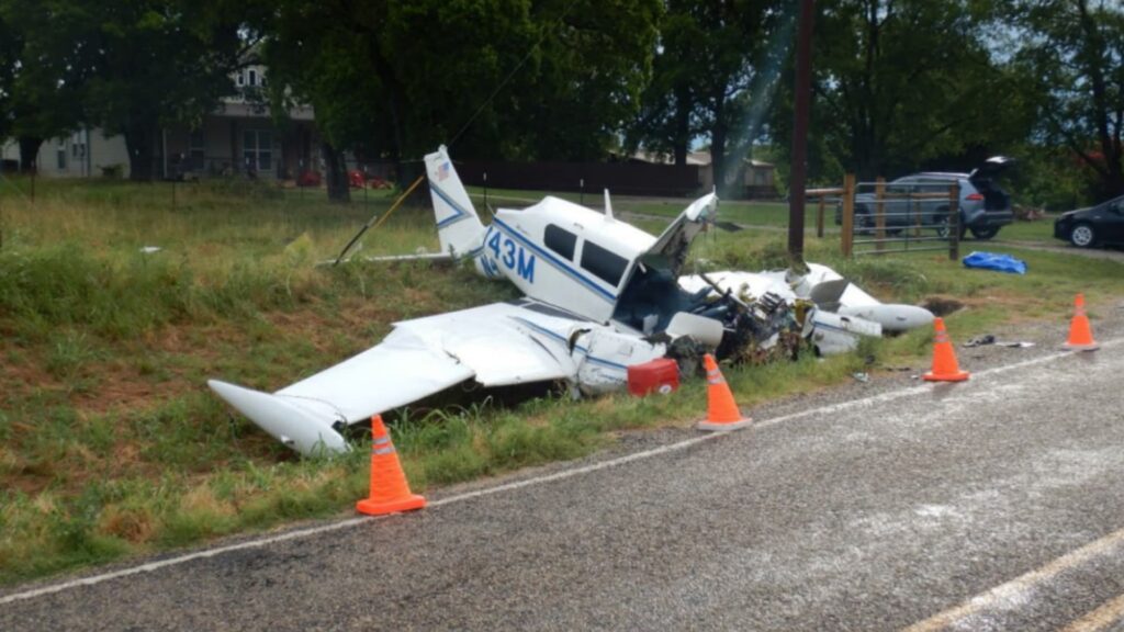
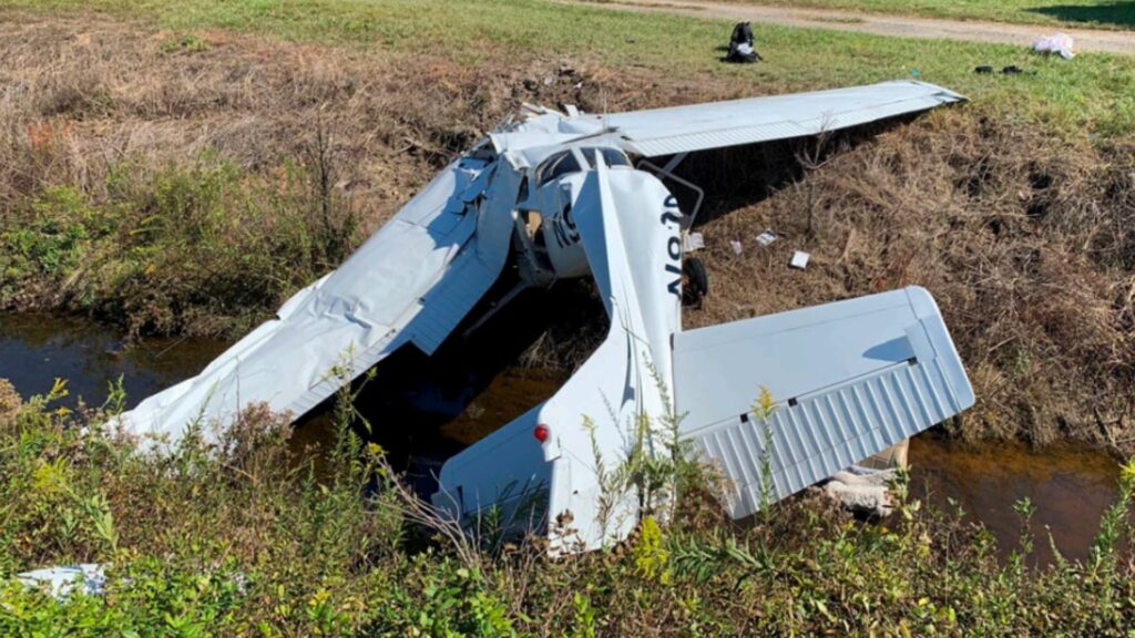
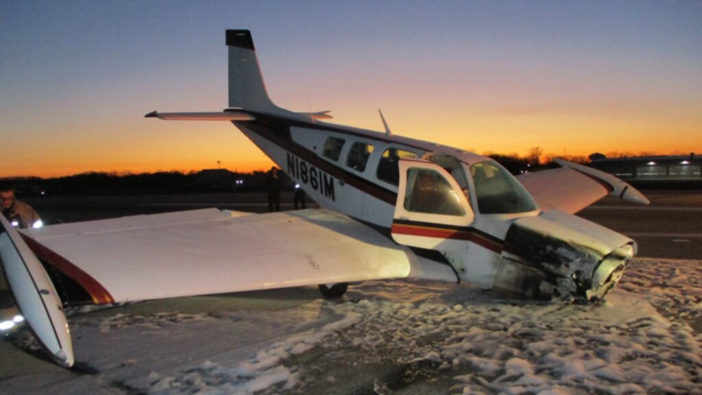
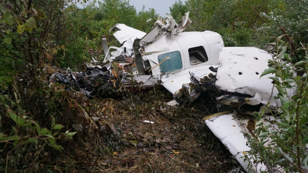
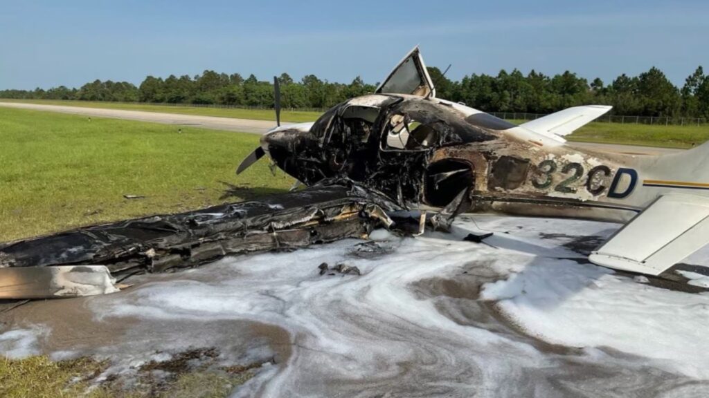
This one started like a lot of springtime cross-countries: a long push southbound to Sun ’n Fun, a stubborn headwind, and a pilot trying to make smart choices while the weather evolved ahead. The airplane was a Piper PA-28-161, registration N21480. The route on day two took the pilot from Conway, South Carolina (HYW) toward Palatka, Florida (28J), skirting the Atlantic coastline under a lowering ceiling. He launched at 11:56 a.m. local and leveled around 1,600 feet MSL, telling ATC he wanted to stay low to remain VFR and avoid the clouds. Roughly an hour later, over marshland near Johns Island, South Carolina, the airplane descended sharply. The pilot radioed, “Mayday, Mayday… in the clouds… I’m going down,” and there were no further transmissions.
Who Was at the Controls
The pilot was 66, held a private pilot certificate for airplane single-engine land, and did not hold an instrument rating. On his most recent FAA medical in March 2022, he reported 740 total flight hours. The logbook wasn’t recovered, so hours in type weren’t available, but the certificate level and lack of instrument privileges were clear, and they shaped the risk picture for this flight.
The Plan, the Pause, and the Push
The trip began the prior day in Maine with multiple legs and two fuel stops before he overnighted at the Tarboro–Edgecombe (ETC) pilot lounge. The next morning he flew to Conway (HYW) and, according to a line employee, talked about the strong headwinds and looked tired—“fatigue in his eyes.” He checked the AWOS, mentioned he might stay and wait out the approaching weather, then walked out, checked fuel, and departed anyway. That subtle pivot—from “maybe I’ll wait” to “I’m going”—was a key decision point.
Weather: A Narrow Window That Closed
The weather along the South Carolina coast wasn’t terrible at the surface—JZI reported 10 miles visibility—but it wasn’t friendly to scud-running, either. Around the time of the accident, JZI showed an overcast ceiling near 1,300 feet AGL with gusty southerly winds (12G18). A 10–15 mile cloud band hugged the coastline with estimated tops around 3,500 feet MSL. A G-AIRMET for moderate turbulence was active, and the HRRR sounding suggested unstable to conditionally unstable air up to 1,000 feet. The forecast called for worsening conditions with nearby convection later in the afternoon. That cocktail—low ceilings, uneven air, and coastal moisture—left a slim VFR shelf below the deck and made any inadvertent climb or turn more likely to put a VFR-only pilot into the milk.
How the Flight Unraveled
Radar and radio paint a short, uncomfortable story. After leveling at 1,600 feet, ATC asked if he wanted to climb. He declined, saying he wanted to remain VFR due to “any clouds up ahead.” Minutes later the target began a descending right turn. When the controller asked if he was maneuvering to stay below the cloud deck, the pilot transmitted the Mayday and reported he was “in the clouds.” Witnesses on the water described a nose-down, high-speed descent and a “dive-bomber”-like engine whine before impact in the marsh. The airplane struck nearly vertical; mud and water splashed high. There was no post-impact fire.
Airplane and Engine: No Smoking Gun
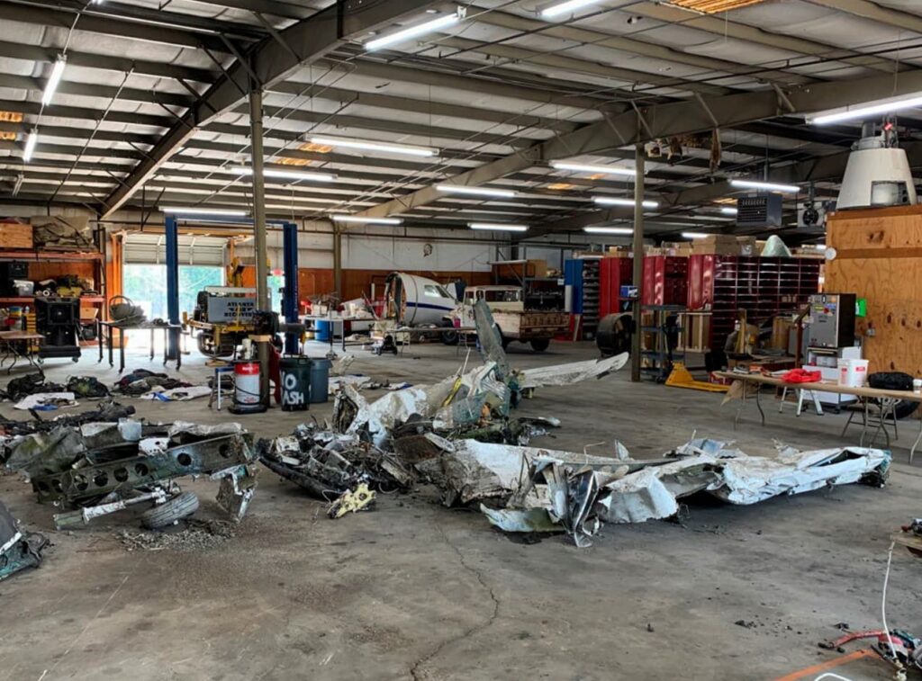
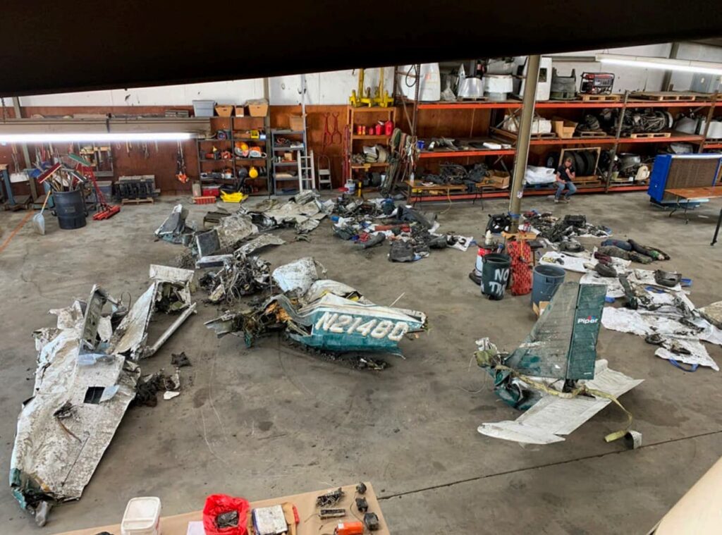
Investigators recovered all major components at the site. Control continuity to the cockpit was established. The flap handle was found at the third-notch position, though the chain/sprocket couldn’t be verified due to damage. The vacuum pump was intact; its rotor and vanes showed no damage. The engine rotated by hand with continuity and compression; plugs looked normal where not impact-damaged. Mud and water had intruded post-impact, but there was no pre-impact mechanical failure noted. In short, the PA-28 was making power and the systems were doing their jobs until the airplane hit the marsh.
What the NTSB Concluded
The probable cause was the pilot’s continued VFR flight into IMC, leading to spatial disorientation and loss of control. Contributing was degraded judgment and performance due to fatigue. The analysis called out that the pilot had not obtained a formal preflight weather briefing that day, although he was aware the weather would deteriorate and considered delaying. Cloud tops near 3,500 feet meant that even a modest climb from 1,600 feet could put a VFR pilot into the layer if the shoreline shelf disappeared.
The Human Factors Thread
Two human elements stand out. First, fatigue. The pilot slept in a lounge the prior night, reported battling headwinds over long legs, and appeared tired to the HYW employee the morning of the crash. Fatigue doesn’t just make you sleepy—it narrows options, slows processing, and makes us more likely to choose the “press-on” plan we’ve already committed to. Second, plan continuation bias. He was headed to a destination event with friends waiting in Florida. When the AWOS hinted at deterioration, he briefly considered stopping, then reverted to going. Neither factor is unique or villainous; they’re everyday pressures that require deliberate countermeasures—especially for single-pilot VFR flying near a coastal deck.
Spatial Disorientation: Why It Happens So Fast
The coastal layer was low, the air below it was bumpy, and the horizon near marsh and water can vanish quickly when the visibility compresses. Entering a cloud while banked, even slightly, can trigger the leans in seconds. Without an instrument rating—and more importantly, without recent instrument training and a solid scan—recovering from an unrecognized bank at low altitude is brutally hard. The report cites classic FAA guidance: when the natural horizon disappears, you must transition to instruments immediately, but fatigue and stress make that transition slower and less precise. At 1,600 feet with uneven air and a tightening shelf, there just wasn’t much room for error.
What We Can Learn (and Use Tomorrow)
- Build in a weather off-ramp. If you’re hugging the bottom of an overcast that’s drifting down, pre-brief the divert and set a hard gate: “If I can’t keep 1,000 feet AGL clear and maintain 3–5 miles, I’m landing at the next field.” The pilot actually considered this at HYW; the lesson is to formalize it and stick to it.
- Respect coastal layers. Along shorelines, cloud bases and visibility can change mile-to-mile. A narrow 10- to 15-mile band with 1,300-foot overcast and tops near 3,500 feet is a recipe for inadvertent IMC if you climb or turn at the wrong moment. If you don’t have the rating, don’t try to thread that needle at low altitude.
- Treat fatigue like a weather minimum. Poor sleep in a lounge, long legs, and headwinds? That’s a red X next to “pushing.” Fatigue degrades judgment and hand-flying precision—exactly what you need for tight VFR margins. If you feel it, reset the plan: food, water, nap, or stop early.
- Instrument skills for VFR pilots. Even if you’re not instrument-rated, regular hood time with a CFI to practice a 180-degree turn back to VMC is cheap insurance. If you do blunder into a cloud, wings-level, climb or descend only if terrain requires, and make that standard-rate 180 to return to visual conditions. It must be automatic.
- Use real briefings. Apps are great, but a structured briefing (or at least a deliberate checklist inside the app) helps catch hazards like coastal stratus bands, turbulence advisories, and worsening trends later in the day. The report notes no documented weather briefing before departure that morning.
Closing Thoughts
From a machine standpoint, nothing failed. The Piper was making power, the controls connected, and the instruments were intact. The hole in the cheese formed from human factors—fatigue, a desire to keep going, and a rapidly tightening VFR window—until a short excursion into cloud triggered spatial disorientation. This accident wasn’t about recklessness; it was about a normal pilot on a normal trip who let the margins get too thin over unforgiving terrain. The actionable fix is to script the exit ramps in advance, elevate fatigue to a hard limit, and keep instrument discipline sharp even if your certificate says “VFR only.” The goal is simple: make the conservative choice easy to execute when the day starts getting short and the ceiling starts getting low.

